In the game
In the second trailer a car rolls through a line of small white toll booths on a low bridge, the downtown towers standing behind them across the water. It lasts a few seconds and is one of the most closely located shots in the trailer. Fans matched it to the Venetian Causeway’s toll plaza, and the match is a clear one: the booths, the low concrete balustrade, the islands stepping away toward the Beach, and the skyline exactly where it should be.
It rests on the fact that only one Miami causeway has a toll plaza like that. The MacArthur and the Julia Tuttle are free, and the Rickenbacker’s plaza is bigger and faces the wrong way for that skyline. That leaves the Venetian.
Whether the game’s causeway follows the real island chain or just borrows the plaza, the shot does not say. We treat it as a match for the booths and the view, not the whole road.
The real place
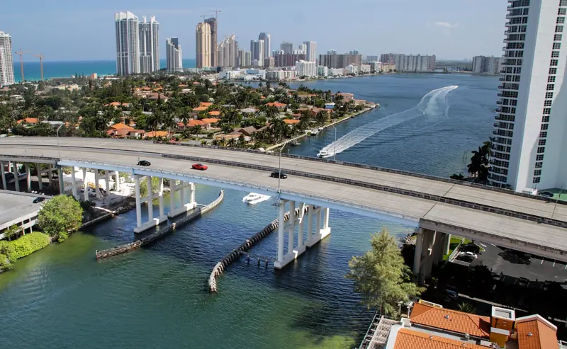
The Venetian is the oldest causeway across Biscayne Bay. It opened in 1926, replacing the 1913 Collins Bridge, then the longest wooden bridge in the world and the reason Miami Beach exists as a resort. The road hops across six residential islands (Biscayne, San Marco, San Marino, Di Lido, Rivo Alto and Belle Isle) on a chain of low bridges, two of them drawbridges, and the whole thing is on the National Register.
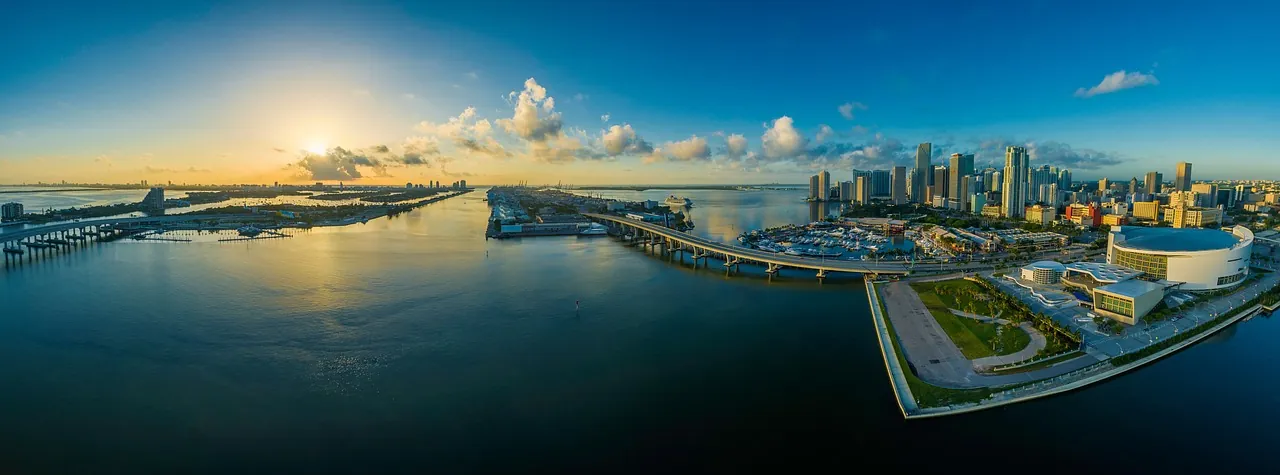
Driving it is a strange, quiet 10 minutes: one lane each way, a low speed limit, palms and 1930s houses either side, the bay glittering between them. The detail a GTA fan will recognize is the toll plaza itself, at the Miami end, with the skyline filling the windshield the moment you turn around.
Go there
Tolls and payment
Miami-Dade’s published two-axle vehicle rates, checked September 17, 2026, are $3.25 with SunPass or $6.50 with toll-by-plate. The county also lists a $2.50 monthly toll-by-plate invoice fee. Cash is not accepted. Check the official Venetian Causeway rate table before traveling, including the rate for extra axles. Ask your rental company about its separate toll-service charges.
Walking and cycling
Allow 1-2 hours for an unhurried outing across the island chain, with extra time for the return. Start early or near sunset for gentler light and bring water. The west approach is NE 15th Street by downtown Miami; the east approach meets Dade Boulevard in Miami Beach. Belle Isle is a useful place to pause near the Beach end.
This is a working road with narrow bridge sections, not a continuous protected recreational trail. Follow posted pedestrian and bicycle routes and do not stop in a traffic lane for the trailer view. Check the county’s Venetian bridge project updates for construction information before choosing your route; drawbridge openings can add a wait.
Make the crossing one stop in three days around Vice City and Miami. The itinerary connects the beach, downtown and other real places behind the game.
Nearby
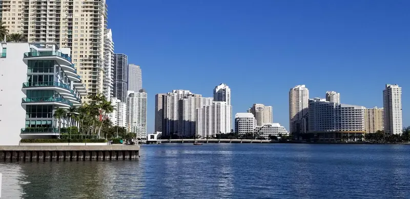
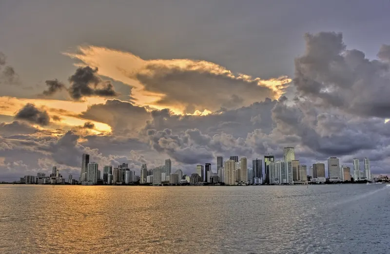
- The downtown skyline: the backdrop to the toll booth shot.
- The causeway highway: the big, fast causeway a mile south; do both.
- The waterfront mansion pool party: the Venetian Islands are the quieter cousins of Star and Palm.
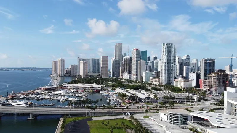
- Bayside: the Miami end is a 10-minute walk from the marketplace.
On the map
Photo: pixexid via Pixabay. Updated September 17, 2026. Spotted an error? Tell us.