Strong matchVice City
Ocean Beach → Ocean Drive
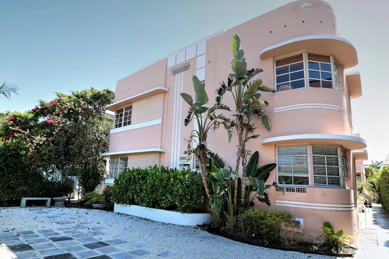
Ocean Beach: the Art Deco strip
Rockstar's Ocean Beach is a clear match for Ocean Drive: pastel Art Deco hotels, neon at dusk and a park between the strip and the sand. Here is how to walk it.
49 real Florida locations behind GTA VI, with photos, maps and directions, graded by how confident the match is.
49 places
Ocean Beach → Ocean Drive
Rockstar's Ocean Beach is a clear match for Ocean Drive: pastel Art Deco hotels, neon at dusk and a park between the strip and the sand. Here is how to walk it.
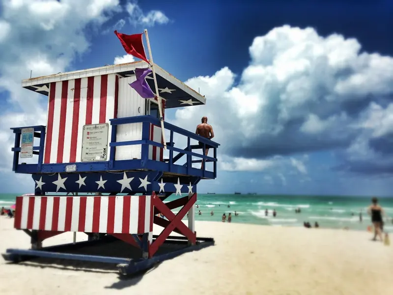
Vice Beach → South Beach lifeguard towers
The candy-colored lifeguard stands in the trailer are a clear match for the real ones on South Beach. Walk the sand from South Pointe to 15th Street and you pass a dozen.
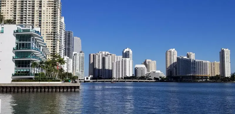
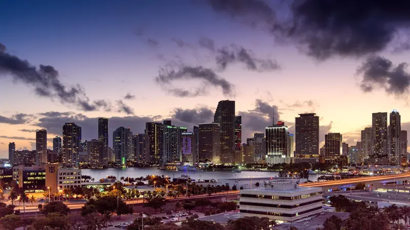
Downtown Vice City → Brickell and Downtown Miami
The glass towers behind every Vice City shot are Brickell and Downtown Miami. Where to see the skyline for real, from a free elevated train to the causeway viewpoints.
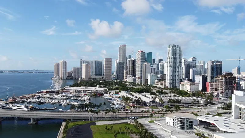
Bayside → Bayside Marketplace and the downtown bayfront
Rockstar named Bayside as a Vice City district in the Extended Look. The real bayfront is Bayside Marketplace, Bayfront Park and the boat docks at the foot of the skyline.
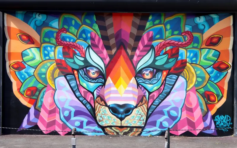
Stockyard → Wynwood Walls
Rockstar named Stockyard as Vice City's mural district. The real thing is Wynwood, a former warehouse quarter painted wall to wall, with Wynwood Walls at its heart.
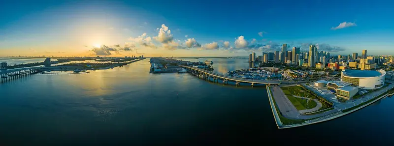
Causeway toll plaza → Venetian Causeway
Plan a Venetian Causeway visit: SunPass and toll-by-plate costs, walking and cycling tips, official bridge updates, and the toll plaza matched to GTA VI's second trailer.
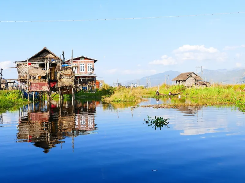
Stilt houses off Vice City → Stiltsville
The pastel houses on stilts that a boat races past in the second trailer are a clear match for Stiltsville, seven surviving shacks in the shallows of Biscayne Bay.
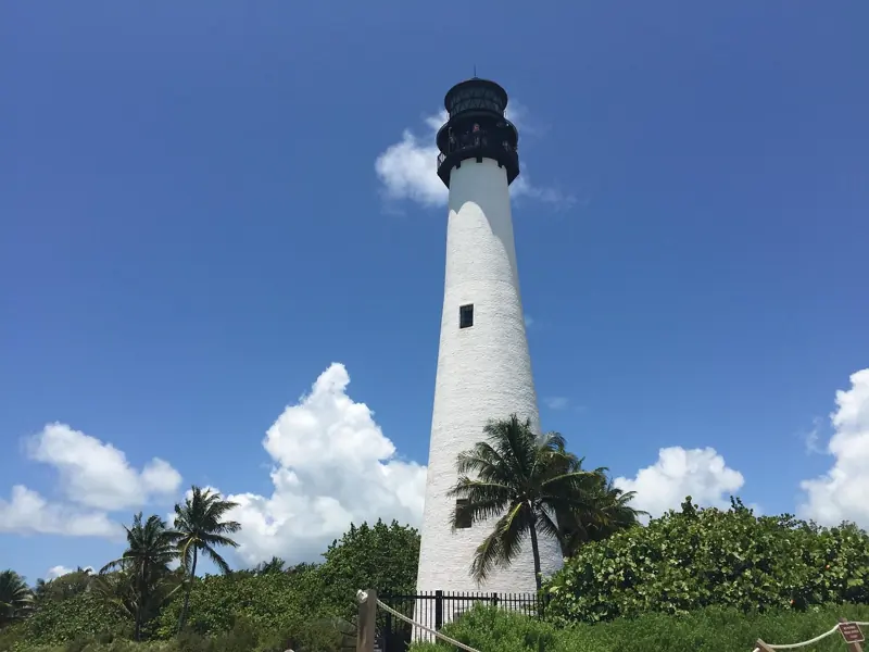
Derelict waterfront stadium → Miami Marine Stadium
A concert in a graffiti-covered concrete grandstand on the water: fans have matched the trailer scene to Miami Marine Stadium, a 1963 landmark empty since 1992.
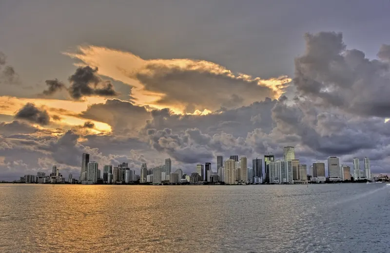
Island mansions → Star Island and Palm Island
The trailer's pool party at a white mansion on the water looks like the celebrity islands off the MacArthur Causeway. You cannot get in, but a boat tour gets you close.
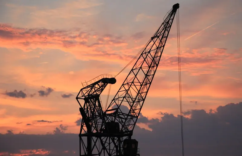
Vice City port → PortMiami
The cranes on the horizon in the second trailer look like PortMiami's gantry cranes. You cannot walk the port, but South Pointe Park puts you next to the ships.
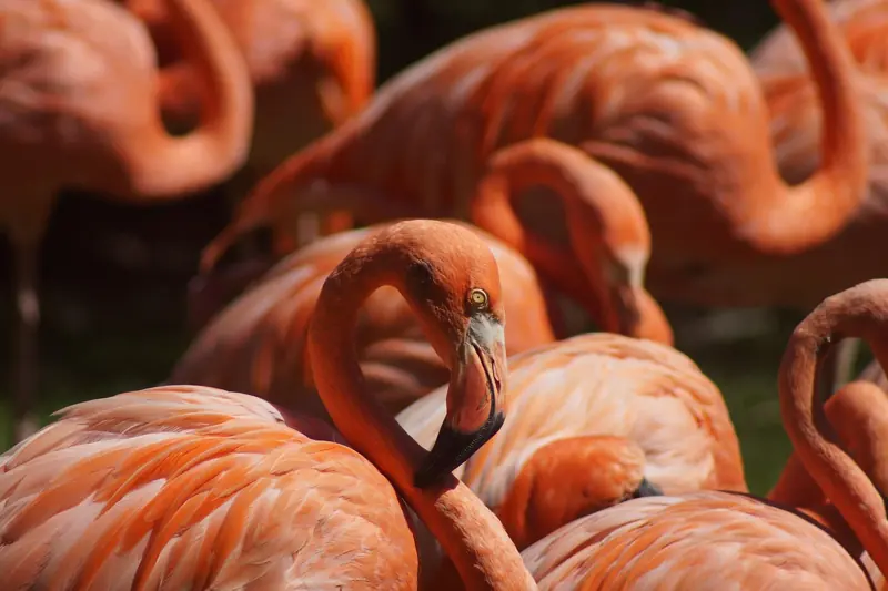
Racetrack with flamingos → Hialeah Park
A flock of flamingos in front of a grand old building: fans matched the trailer's shot to Hialeah Park, the 1920s racetrack whose flamingo colony opened Miami Vice.
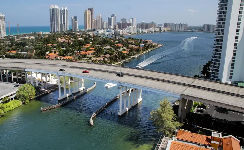
Causeway highway → MacArthur Causeway (I-395)
The wide highway over the water with the skyline behind, seen in both trailers, looks like the MacArthur Causeway, Miami's six-lane link between downtown and South Beach.
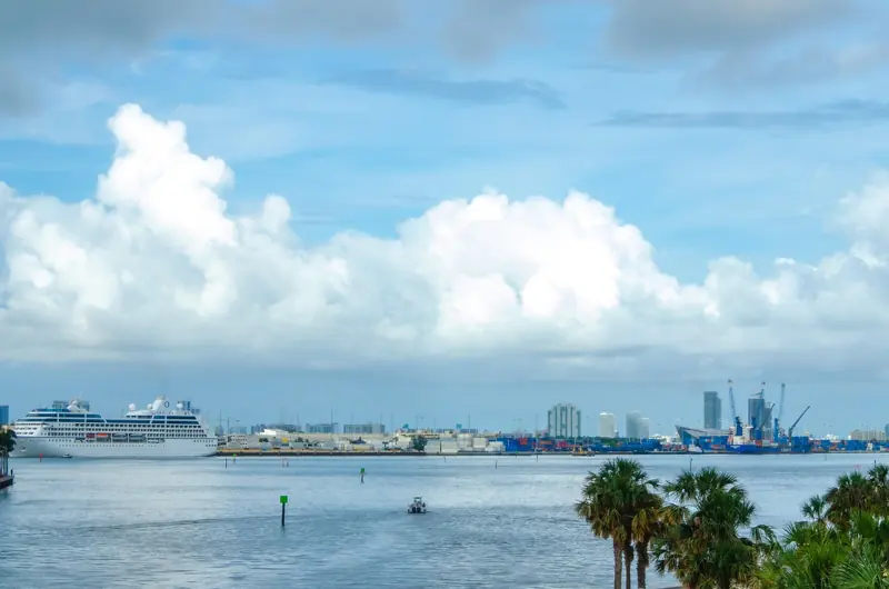
The bay → Biscayne Bay
Jet skis, rafted-up boats and parties on the water run through both trailers. Biscayne Bay is the real thing, and you can rent a jet ski or join a sandbar crowd yourself.
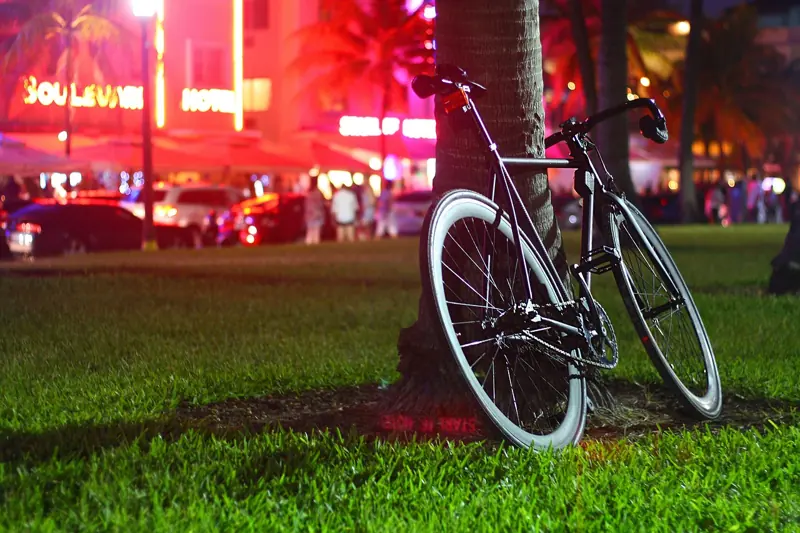
Vice City nightlife → Downtown and South Beach nightclubs
Neon clubs, DJs and strip clubs run through the second trailer and the Extended Look. Miami's real circuit is South Beach, Mid-Beach and the downtown club blocks.
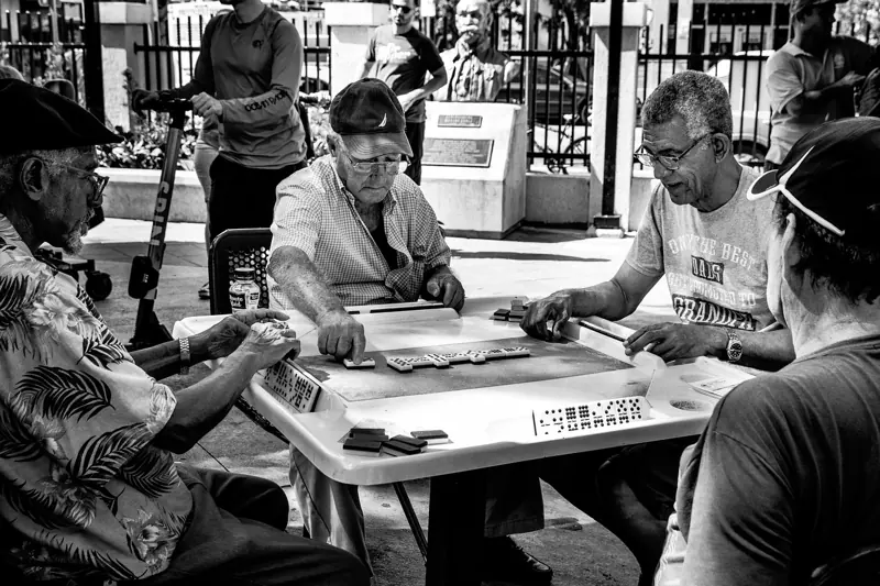
Cuban district → Calle Ocho, Little Havana
GTA: Vice City had a Little Havana in 2002; nothing in the GTA VI footage confirms one yet. Miami's real Cuban quarter along Calle Ocho is worth the trip either way.
Downtown landmark tower → Freedom Tower
Fans keep looking for the 1925 Freedom Tower among Vice City's glass; nothing official shows it yet. The real one stands across from Bayside and is the oldest thing on the skyline.
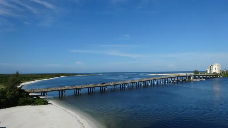
The Keys bridge → Seven Mile Bridge
The long, low bridge from Trailer 2 is a clear match for Marathon's Seven Mile Bridge, and the old railroad span beside it is now a walkable path over the water.
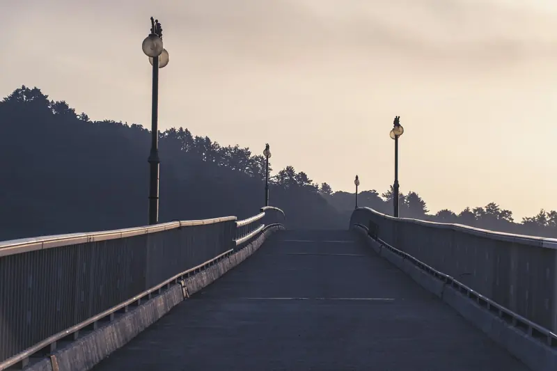
Leonida Keys highway → Overseas Highway (US-1)
The two-lane road with water on both sides that Trailer 2 keeps coming back to is US-1, 113 miles from Key Largo to Key West over 42 bridges. Drive it slowly.
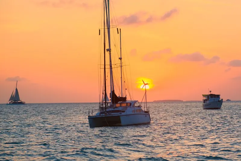
Roadside whale statue → Betsy the Lobster, Rain Barrel Village
Fans think the oversized roadside creature in the Keys draws on Betsy, the 30-foot spiny lobster outside Rain Barrel Village in Islamorada. Whatever it is, Betsy is worth the stop.
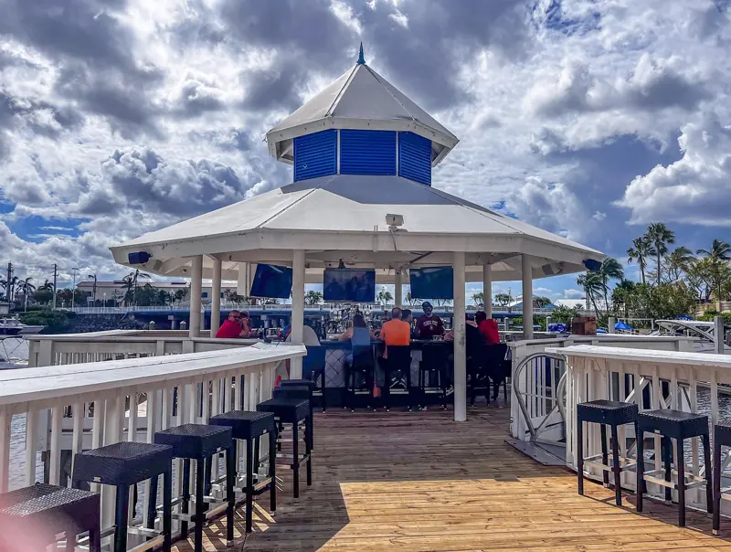
Keys tiki bar → Islamorada's bayside tiki bars
The thatched waterfront bar at sunset in Trailer 2 has been matched by fans to Islamorada's bayside tiki bars, where the real thing is a rum drink, a dock and a very slow sunset.
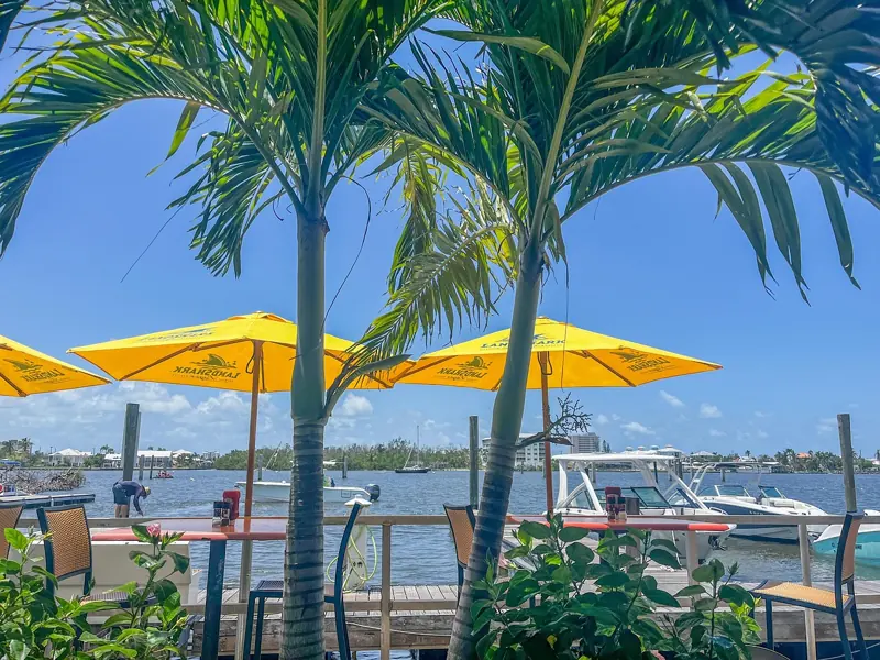
Jason's place in the Keys → Key Largo and Islamorada canal homes
Jason's raised house on the water, boat tied up behind, is the kind of canal home that fills Key Largo and Islamorada. You can't visit his, but you can see hundreds like it.
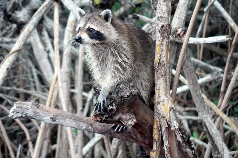
Mangrove channels → Florida Bay backcountry
Boats tearing through tunnels of mangrove in both trailers have been matched by fans to the Florida Bay backcountry behind the Upper Keys, a maze you should only enter with a guide.
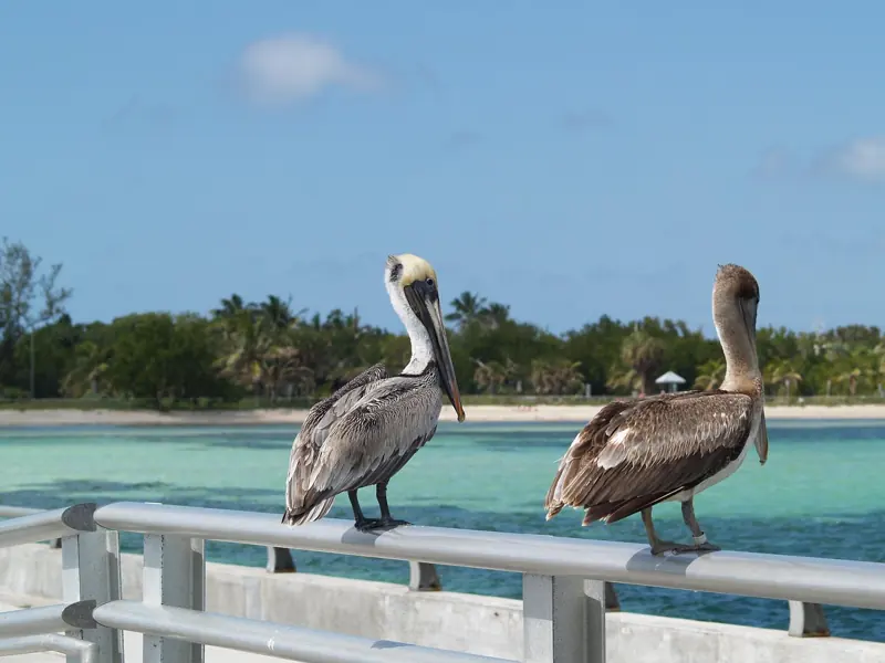
Southernmost town → Duval Street, Key West
Rockstar hasn't shown a Key West in Leonida, but the end of the Keys road looks like it draws on the real thing, and the real thing is the best finish to a Keys trip.
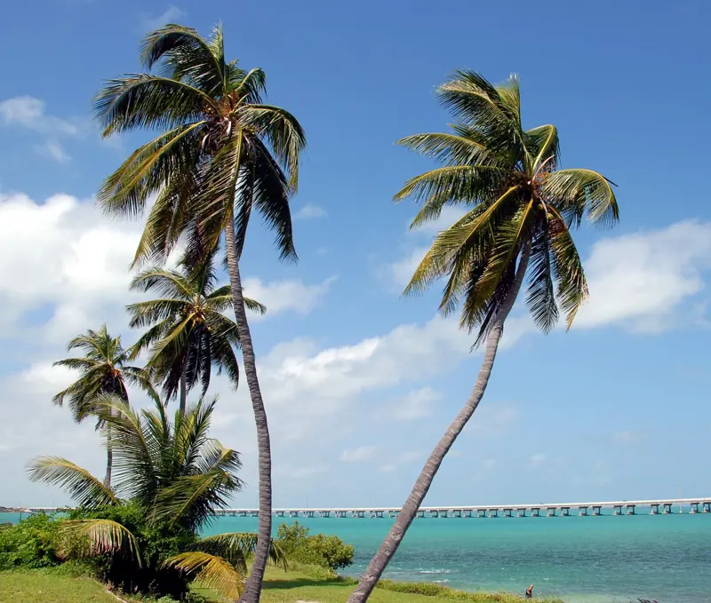
Keys beach → Bahia Honda State Park
Nothing official points here, but the Leonida Keys look like they draw on the Lower Keys, and Bahia Honda's beach under a broken railroad bridge is the most cinematic spot on the chain.
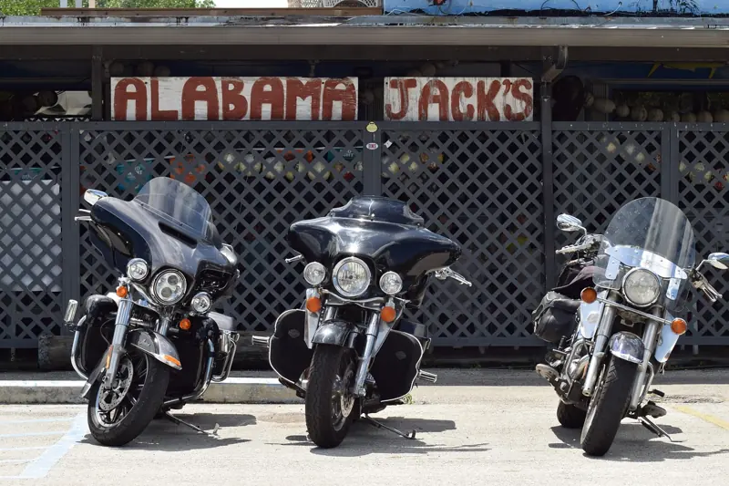
Back road → Card Sound Road and Alabama Jack's
There are two roads into the Keys and the game's version looks like it draws on both; the quiet one crosses Card Sound past a bar on stilts where the weekend country band never stops.
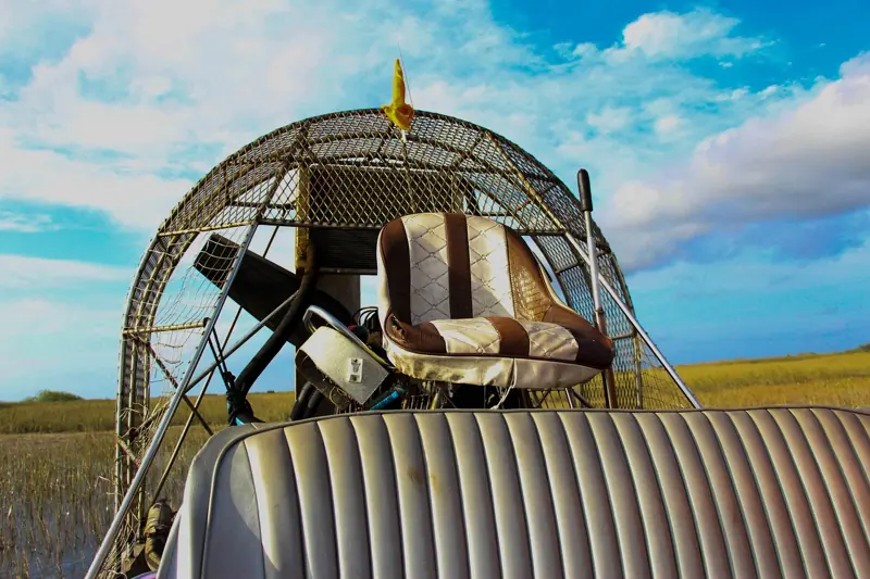
Grassrivers airboat → Airboat tours on the Tamiami Trail
The airboat skimming the sawgrass in Trailer 1 is a clear match for the Everglades tours strung along the Tamiami Trail west of Miami, where you can ride the same boat for $25-45.
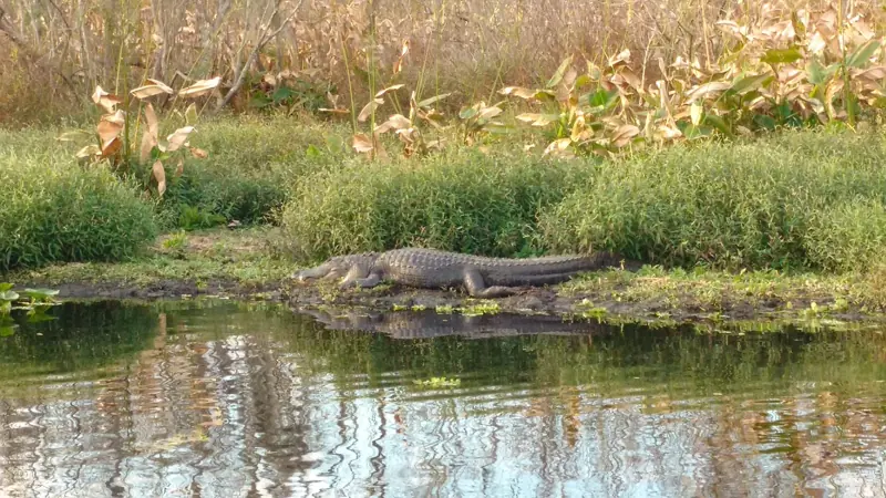
Alligators everywhere → Shark Valley, Everglades National Park
Trailer 1's alligators, on lawns, in stores and in the swamp, are a clear match for the real Everglades, and Shark Valley's 15-mile loop is where you'll walk past dozens of them.
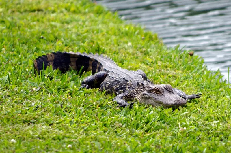
Gator in a pool → Suburbs on the Everglades edge
Trailer 1's gator floating in a suburban pool is a clear match for the real edge of the Everglades, where towns like Weston back straight onto the swamp and the trappers stay busy.
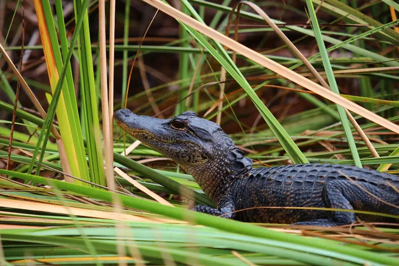
Swamp highway → Alligator Alley (I-75)
Drive Alligator Alley across the Everglades: toll-payment guidance, an official rest-stop resource, what to check before setting off, and its possible GTA VI connection.
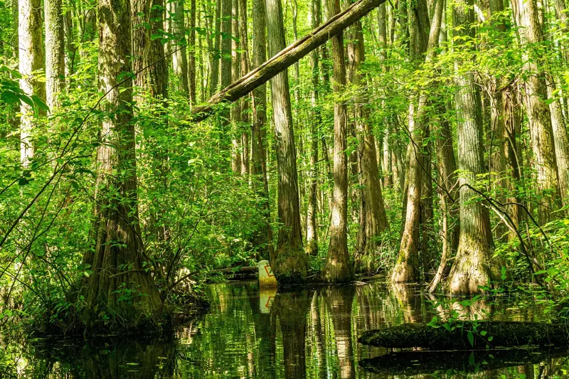
Cypress swamp → Big Cypress National Preserve
The flooded forest of grey trunks and hanging moss in Trailer 2 has been matched by fans to Big Cypress, the swamp west of the Everglades where a gravel loop road takes you into it.
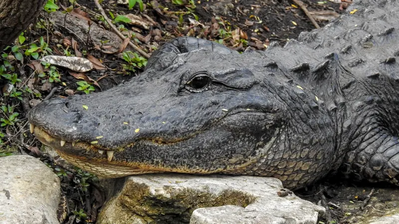
Swamp town → Everglades City and Chokoloskee
Rockstar hasn't shown a town in Grassrivers, but a swamp town in a GTA game looks like it draws on Everglades City, whose stone-crab fleet has a famous history with the wrong side of the law.
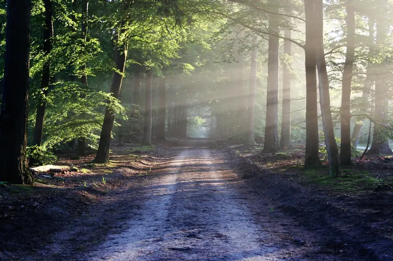
Roadside oddity → Ochopee Post Office
Nothing official points here, but Leonida's roadside oddities look like they draw on places like Ochopee, where a shed the size of a parking space has been a working post office since 1953.
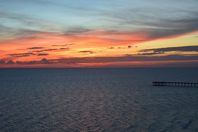
Port Gellhorn pier → Russell-Fields Pier
The long concrete pier fans matched to Port Gellhorn's: 1,500 feet into the Gulf at Pier Park, a few dollars to walk, best in the hour before sunset.
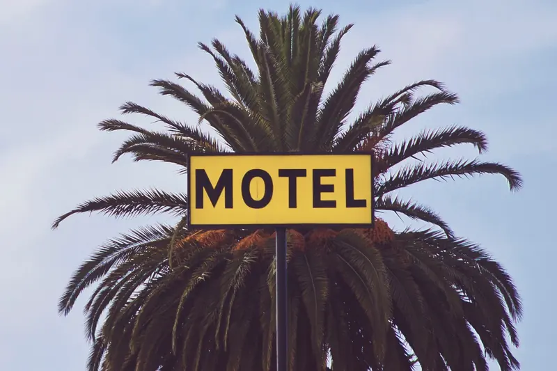
Port Gellhorn strip → Front Beach Road
Port Gellhorn's strip of motels and half-lit neon is Panama City Beach's Front Beach Road: what survives of the old Miracle Strip between the condo towers.
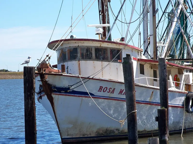
Port Gellhorn's quiet coast → Apalachicola, Port St. Joe and Mexico Beach
The empty Gulf coast east of Panama City: the oyster town of Apalachicola, the beaches of Cape San Blas, and Mexico Beach, still rebuilding after Hurricane Michael.
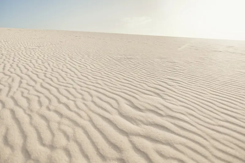
Port Gellhorn beach → St. Andrews State Park
A travel idea for Port Gellhorn fans: the white-sand state park at the end of Panama City Beach, with rock jetties, a sheltered snorkel pool and a boat to Shell Island.
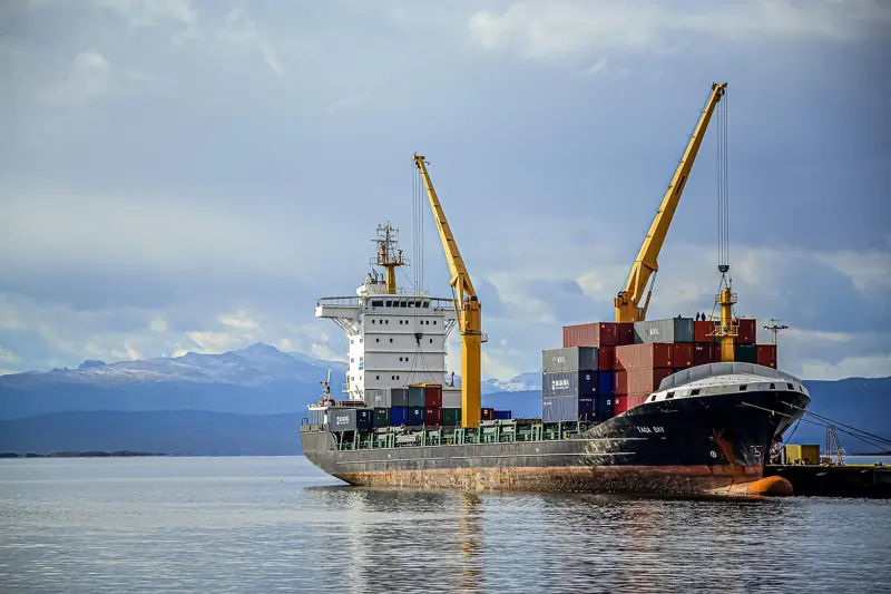
Port Gellhorn docks → Port Panama City
A travel idea: the cranes, warehouses and ship channel of Port Panama City on St. Andrew Bay, seen from the Hathaway Bridge or the old St. Andrews waterfront next door.
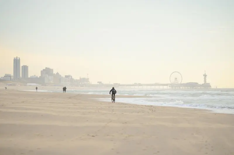
Beach amusements → Pier Park and the old Miracle Strip
A travel idea for Port Gellhorn's carnival side: the big wheel and boardwalk shops of Pier Park, and what survives of the Miracle Strip amusement park era on Front Beach Road.
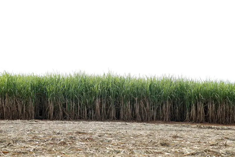
Ambrosia's sugar mill → U.S. Sugar mill
Ambrosia's mill is a clear match for Clewiston, America's Sweetest Town, where U.S. Sugar's stacks rise over the cane and the 1938 Clewiston Inn still serves dinner.
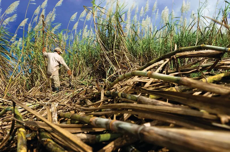
Ambrosia farmland → Sugar cane country
The burning cane field in Trailer 2 is the Everglades Agricultural Area south of Lake Okeechobee: 400,000 acres of cane around Belle Glade and Pahokee, on fire from October to spring.
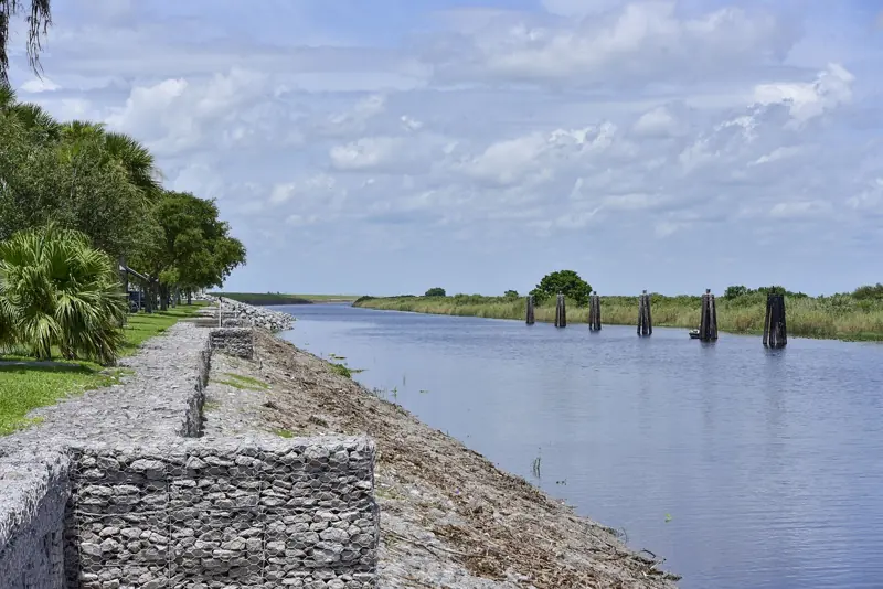
Leonida's inland lake → Lake Okeechobee
Fans matched Leonida's big inland lake to Lake Okeechobee: 730 square miles of water you cannot see from the road, ringed by the Herbert Hoover Dike and a 110-mile trail on top of it.
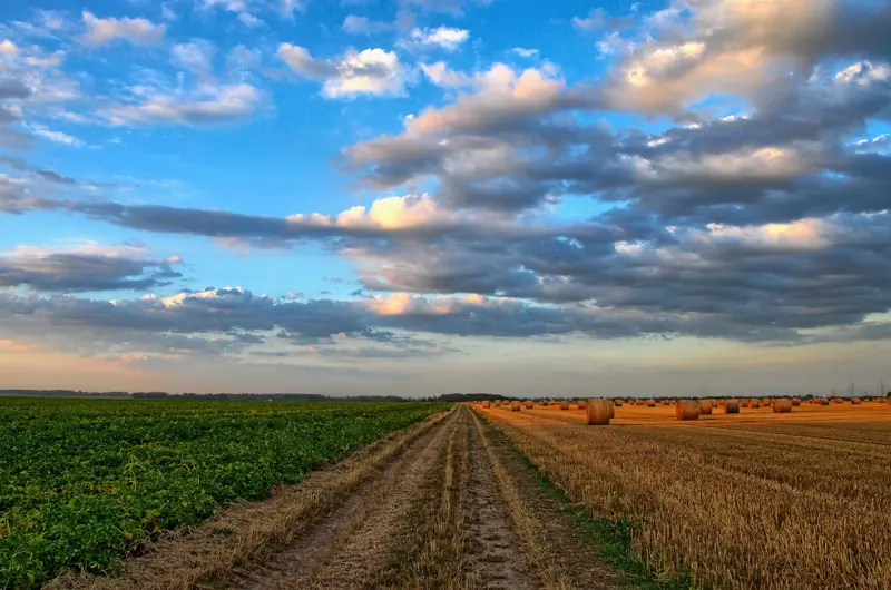
Cal Hampton's trailer → Rural Glades and Hendry County
Cal Hampton's mobile home in the trees has no single real address; the country it belongs to is Hendry County: LaBelle, the Caloosahatchee and the sand roads between ranches.
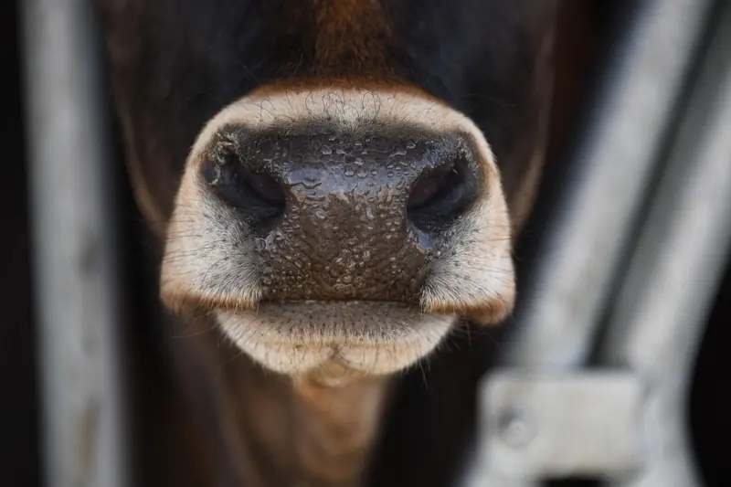
Ambrosia ranchland → Okeechobee
A travel idea for Ambrosia's ranch side: Okeechobee, the cattle town on the lake's north shore, with a working livestock auction, a rodeo and the dark-sky prairie of Kissimmee Prairie Preserve.
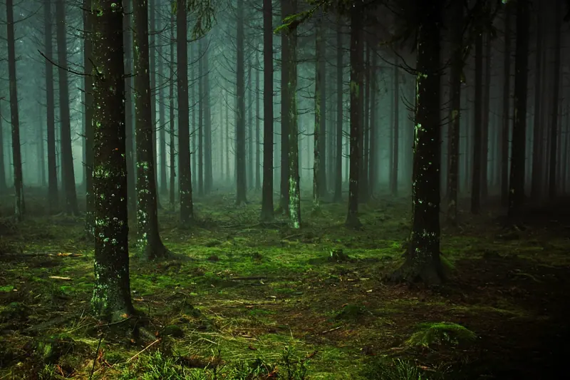
Mount Kalaga forest → Ocala National Forest
The pine forest and sand roads of Mount Kalaga have been matched to Ocala National Forest: 380,000 acres of scrub, longleaf pine and clear springs an hour and a half from Orlando.
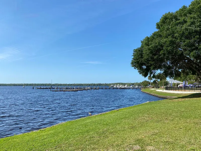
Mount Kalaga springs → Silver Springs State Park
Trailer 2's crystal-clear spring has fans pointing at Silver Springs, Florida's oldest attraction: glass-bottom boats since the 1870s, wild monkeys and water you can see 80 feet into.
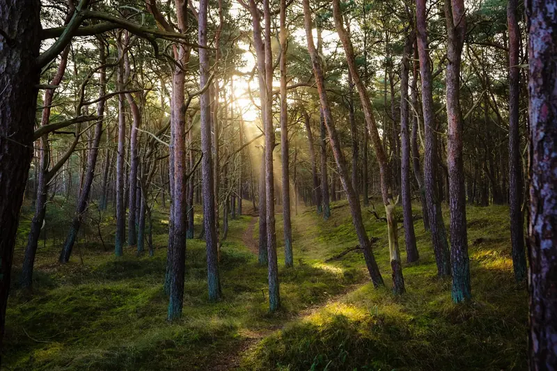
Mount Kalaga hunting → North Florida hunt camps
Mount Kalaga's hunting culture has a real home in the Panhandle's national forest: Apalachicola's half million acres of pine, sinkholes and swamp, where deer season runs from fall into winter.
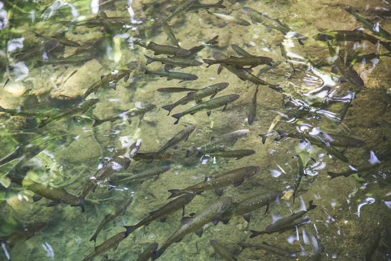
Spring swimming → Rainbow Springs and Ginnie Springs
A travel idea for Mount Kalaga's swimming scene: Rainbow Springs, a state park headspring you can float in, and Ginnie Springs, the private tubing and cave-diving spot on the Santa Fe River.
Mount Kalaga lake → Lake George and the St. Johns River
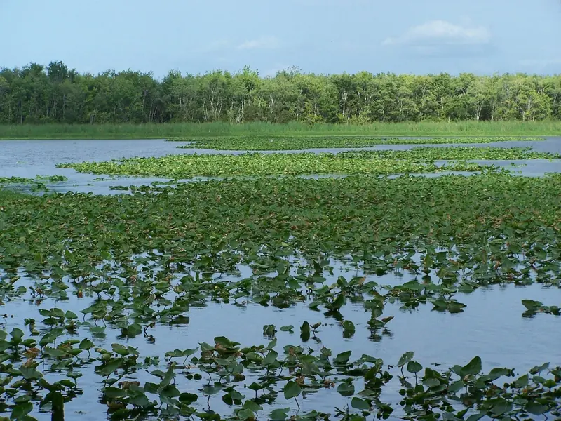
A travel idea for Mount Kalaga's lake country: Lake George, Florida's second-largest lake, on the north-flowing St. Johns, ringed by old fish camps, a Navy range and Silver Glen Springs.
The "mount" in Mount Kalaga → Torreya State Park and Britton Hill
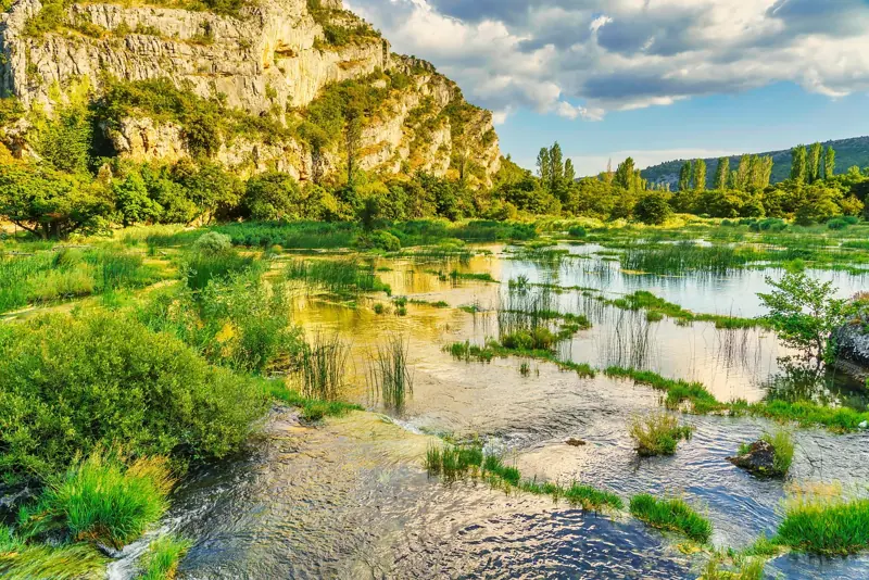
Florida's high point is 345 feet, so Mount Kalaga's mountains are Rockstar's invention; the closest real thing is the Apalachicola River bluffs at Torreya and the marker at Britton Hill.